| Cod flakes on beaches and high mountain meadows, moose in the valleys and seeing the fellows... |
 |
|
05/12/04Please be patient! This is one of the few places where there are larger pictures. They take a little time to load, but I hope you'll find the wait worth it. |
          
|
These are a few of our favourite things...Please leave your comments in our Guest Book.
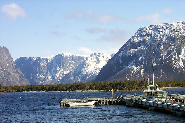
This was one of our first hikes, spring 2003. The scene is Western Brook Pond in Gros Morne National Park. From here (after about a half hour hike), you take the boat (the big one, not the little one) up the pond into the fjord. It's an amazing trip, both the hike and the boat trip. Don't be surprised to see a moose on the trail, maybe actually ON the trail in front of you (or a caribou or two).
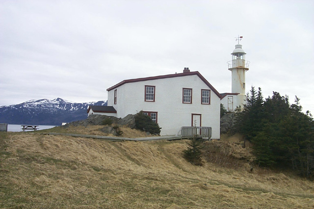
This is the lighthouse at Lobster Cove Head, just north of Rocky Harbour. There are campfires, interpretive lectures, and walks (for children) through the tidal pools with explanations of the various sea creatures that live there.
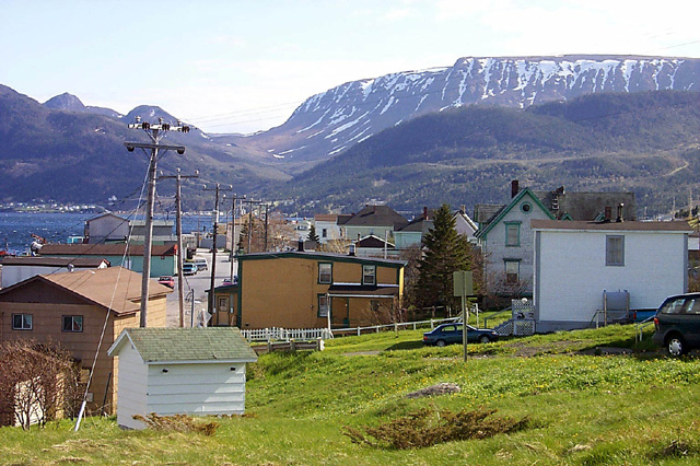
This is Woody Point. It's on the "south" side of the park. You can take a tour boat here from the North Side. It leaves from Norris Point. In the background you can see the Tablelands, a spectacular geographical phenomenon found very few places in the world. You can take a boat tour up Trout River Pond alongside the Tablelands. There a wonderful explanation of the geography of the area, interesting even to someone like me who is generally bored with such stuff. Children might be bored too.
This is Trout River, at the end of the road on the South Side of the park. You can take that boat tour I was talking about here. It's over there >>> about a kilometer up the road.
This is the view taken from the balcony of the Discovery Centre on the road to Trout River just after you make the turn from the Woody Point route. The Discovery Centre is an interpretive centre for the geography, flora and fauna, wildlife, history of the area. It's well worth visiting. There's a small gift shop and a small coffee shop. The trail behind the Discovery Centre is perhaps the most scenic trail in the park, but it's a tough one. It's about an hour up hill. The climb is well worth it as it brings you first (if you take the left turn at the top) to a mountain meadow that overlooks the Tablelands ,the same arm of the bay you see in this picture, and then to the crest of the hill where you can see all of Bonne Bay and the Tablelands. It's spectacular.
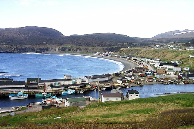
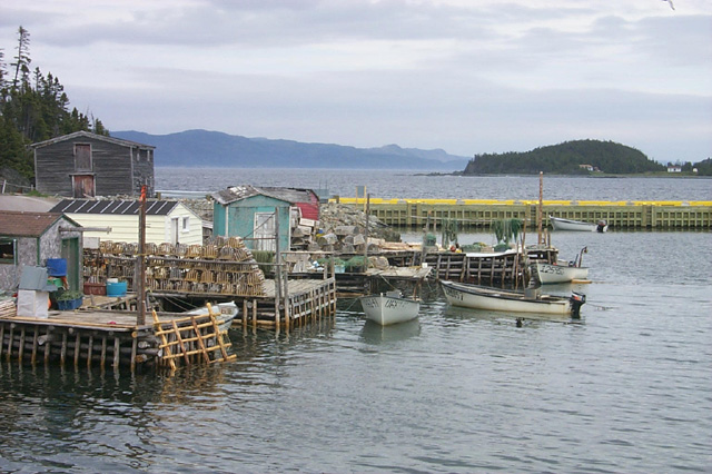
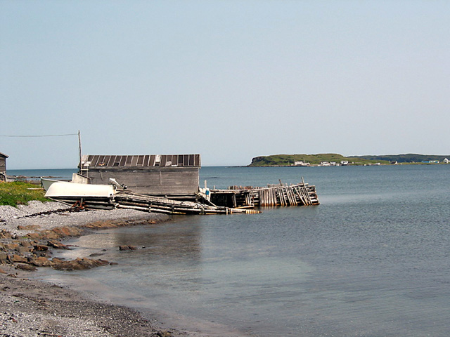
This is an outport scene you can see around just about every turn you take in the small roads to and through Newfoundland outports. ("Outport" is what Newfoundlanders call our small coastal communities. You may want to call them villages, or hamlets, or something else equally quaint.)
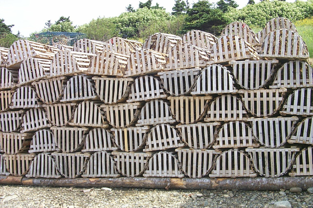
Newfoundlanders used to be (and maybe still are), ashamed to eat lobster. They were consider the "poor man's" dinner. The missus would say, "Close the doors and windows," anytime lobster was being served in an outport community.
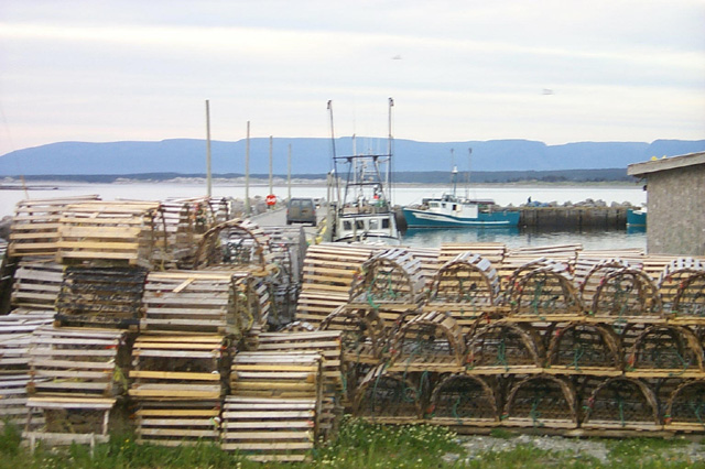
And more lobster pots. On the drive up the Northern Penninsula you will see literally thousands of them stored alongside the road and in the woods along little woods roads.
This is Raleigh, on the Great Northern Peninsula. It is around the bay, just before we started our magnificent hike out to the botanical gardens. It's across the bay from Abiel Taylor's craft store (carvings).
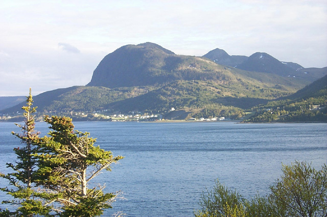
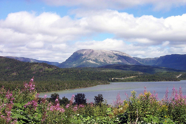
This is Gros Morne itself. Carol has taken pictures from this spot during every season of the year. Every time we pass by it strikes us as so beautiful that we always take new pictures. I must count the number or pictures we've taken from this same location.
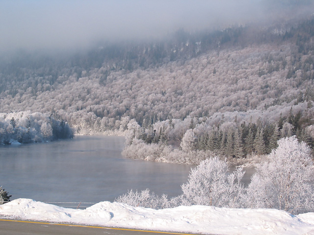
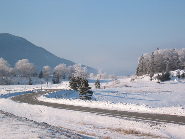
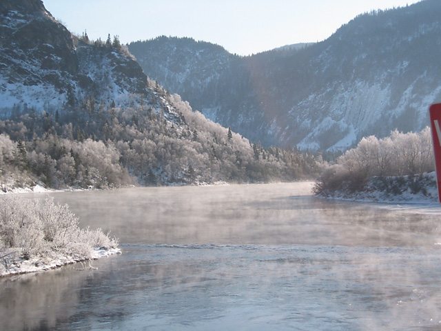
This is one of the reasons we've never minded having to drive 20 miles to work every morning (not that we do it any more). This was taken one sunny cold morning when the cold had frozen the mist off the Humber River. I took this on my way skiing. Life is tough, huh?
Same day as the picture above. This time taken looking down the valley. Marble Mountain is just about across from the last mountain you can see.
And this is that same day looking UP the Humber River, that's back in the direction I just came from. The drive through the Humber Valley is spectacular any time of the year, but particularly on days like this and in the fall.
This is the view looking up along the Tablelands from Trout River. This is where the Trout River boat tour goes.
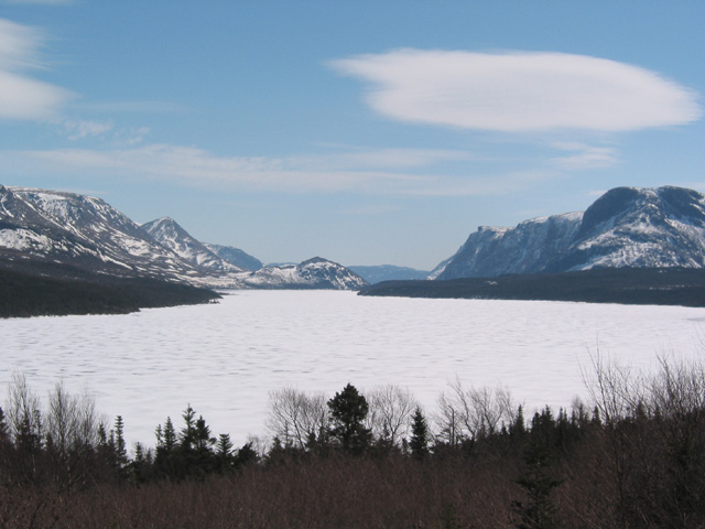
Here's a better view of Trout River Pond and the route of the boat tour. No boat tours this time of year though.
This was taken on another remarkable hike, this time on the Alexander Murray Trail which leaves from King's Point in Green Bay. There are a LOT of steps, but what a hike. Beautiful!
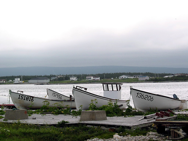
The little boats of Newfoundland.
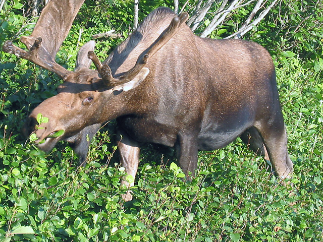
Mr. Moose. In the early spring, driving through Gros Morne, you can see anywhere from twenty to fifty moose. This picture is taken in early fall when they still have their racks. We have a LOT of moose pictures on our computer. This one wasn't about to stop eating just because there was a tour bus stopped, about 10 cars, and about 50 people taking pictures of him.
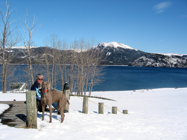
This was a beautiful day, just a couple of weeks ago (April, 2004). We drove to the entrance to the Lomond Camp Ground, parked the car, and walked in to the camp ground, about an hour and a half walk over crusty snow. We carried in a lunch and had a beautiful picnic on site. Piqa got her treats. Then we hiked out. Altogether it was about a four hour trip.
Scroll through the pictures using the left and right arrows and click on any picture for a larger view.
This site was last updated 05/11/04 |


